Foundation
As a law enforcement-founded organization, we prioritize exceptional quality and ethical standards.
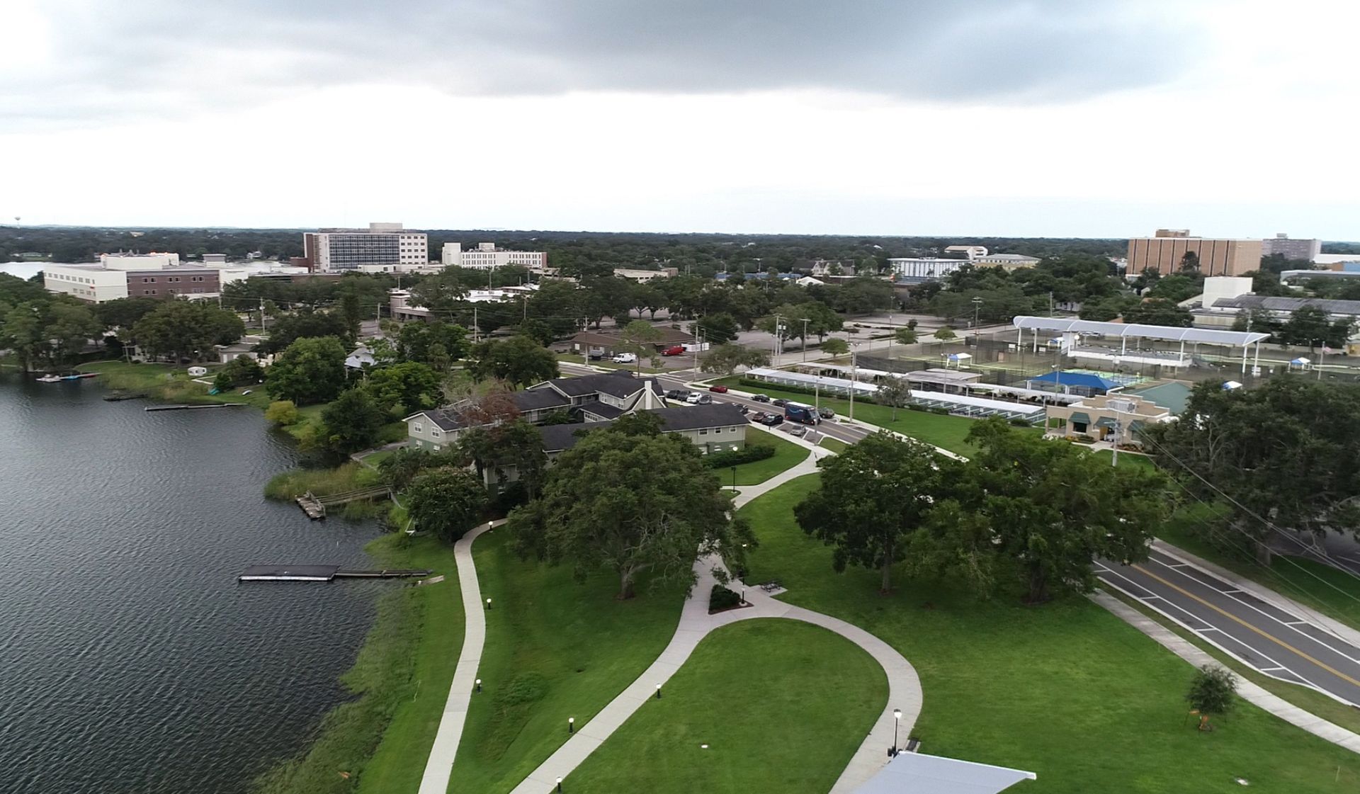
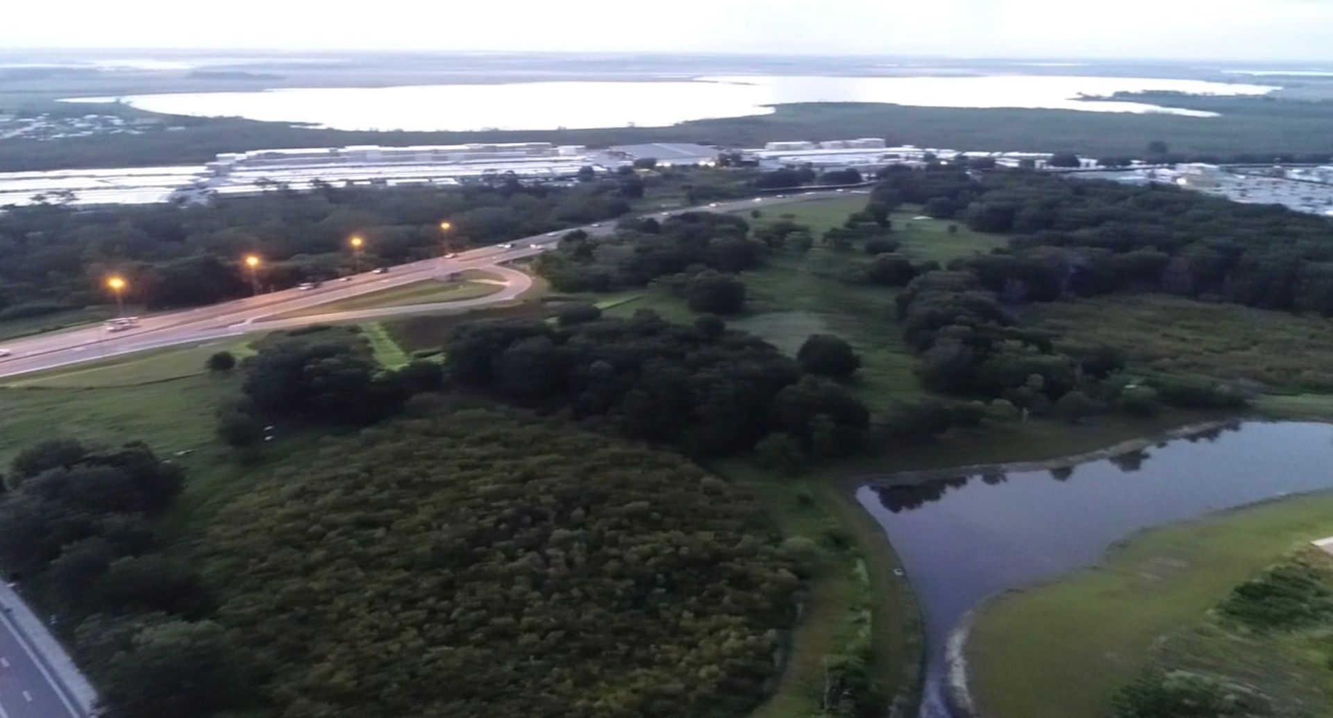
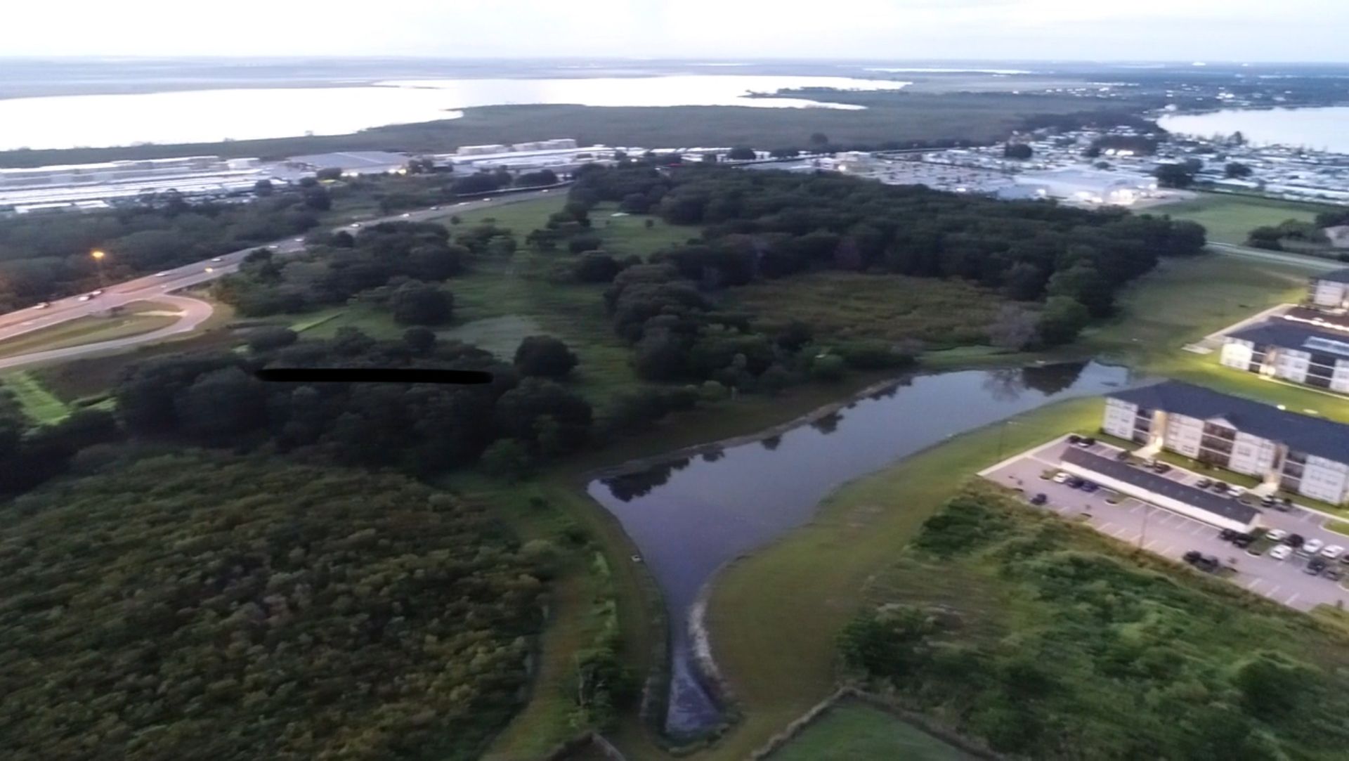
Our FAA Part 107 Certified Drone Pilots undergo rigorous training and utilize high-definition imaging technology, complemented by expertise in aerial videography. We excel in comprehensive surveying, mapping, and image capture operations, catering to diverse commercial needs.
Aerial Drone Services

Basic Aerial Photo/Video Package
Up to 1-hour on-site shooting.
Up to 20 high resolution images.
One professionally edited video (30s-60s).
Starting at ($150)
Select
Up to 20 high resolution images.
One professionally edited video (30s-60s).
Starting at ($150)

Roof and Property Inspections
High definition overhead images/angles.
Orthomosaic Map imaging.
Summary Report with visual highlights.
Starting at ($350)
Select
Orthomosaic Map imaging.
Summary Report with visual highlights.
Starting at ($350)

Full-Day Operations (4-12 hours)
- Events, Search and Rescue, Construction.
- Includes Mapping, Inspection, and other Deliverables.
Starting at ($750)
Select
- Includes Mapping, Inspection, and other Deliverables.
Starting at ($750)
Who We Are

Austin Boven - Owner/Operator
Austin works as a law enforcement officer local to the Central Florida area. Austin founded ShieldFlight with the idea of using drone technologies to create a safe and effective approach to commercial imaging.
Special features

Best Quality
We guarantee your full satisfaction
Family business
A professional, personalized experience

24/7 Support
Our phone support is always available to you
Follow
Contact us 24/7
We're here to help! Send any questions you have over to us. We look forward to hearing from you.